












In an increasingly interconnected world, the stability of critical transport corridors is the lifeblood of global commerce and social cohesion. When these vital links are threatened by natural disasters or technical failures, the ripples are felt far beyond the immediate location of the event. The arrival of digital risk mapping protection has provided a new and powerful way to understand these threats and to build a more resilient future. Transport Advancement notes that by turning raw data into clear, actionable visualizations, these maps are allowing us to see the invisible dangers that lurk within our infrastructure and to take decisive action before they manifest.
The Foundation of Digital Risk Assessment
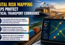
Digital risk mapping is the process of integrating diverse datasets into a geographic information system to identify and evaluate potential threats. This foundation is built upon high resolution satellite imagery, LIDAR scans, and geological surveys that provide a detailed picture of the physical environment. By layering this information with data on infrastructure age, material properties, and traffic volumes, engineers can create a comprehensive model of the network. This digital risk mapping protection framework is what allows for the identification of vulnerabilities that would be impossible to detect through traditional inspection methods alone.
The power of these maps lies in their ability to handle complexity. A transport corridor is not just a road or a railway, it is a complex system of bridges, tunnels, embankments, and drainage structures, all of which are subject to different types of risk. Digital mapping allows for the assessment of these individual components in the context of the entire system. For example, a map can show how a landslide in one area might affect a bridge several miles away by altering the flow of water. This systemic view is essential for developing a truly effective strategy for protecting critical infrastructure.
Integrating Real Time Data and Dynamic Risk Levels
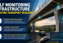
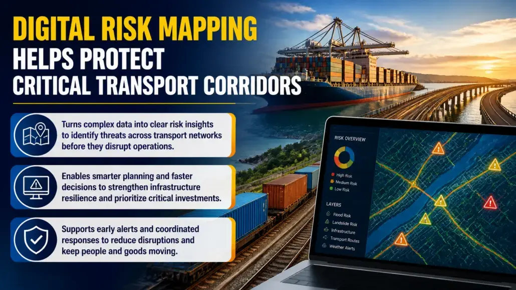
One of the most significant advancements in digital risk mapping is the integration of real time data streams. Modern risk maps are not static documents, they are living platforms that update constantly based on the latest information from weather sensors, seismic monitors, and IoT devices. If a heavy storm is approaching, the map can automatically highlight the areas at the highest risk of flooding or erosion, allowing authorities to take immediate action. This dynamic approach to digital risk mapping protection is a key factor in improving the responsiveness of emergency services and infrastructure managers.
The use of AI and machine learning also plays a vital role in these systems. Algorithms can analyze the stream of incoming data to detect subtle changes that might indicate an impending failure. For instance, a small shift in the position of a sensor on a slope could be the early warning sign of a landslide. By alerting authorities to these risks in their infancy, digital risk mapping allows for intervention long before a catastrophic event occurs. This predictive capability is transforming risk management from a reactive discipline to a proactive one, saving lives and protecting valuable assets.
Protecting Economic Stability and Supply Chains
The economic importance of critical transport corridors cannot be overstated. These routes are the arteries through which goods and raw materials flow, supporting industries and creating jobs. A major disruption on a key corridor can lead to billions of dollars in lost productivity and can destabilize entire regional economies. Digital risk mapping protection provides the tools needed to ensure the continuity of these vital supply chains. By identifying the most likely points of failure, companies and governments can develop redundant paths and robust emergency response plans.
Furthermore, the intelligence provided by risk mapping is invaluable for prioritizing infrastructure investments. In an era of limited budgets, it is essential to focus resources where they will have the greatest impact on resilience. Digital risk maps allow for a rigorous, data driven approach to asset management, ensuring that the most vulnerable and critical components of the network receive the attention they need. This strategic allocation of capital is a key driver of long term economic stability and a primary goal of every modern infrastructure agency.
Enhancing Public Safety and Emergency Response
Public safety is the paramount concern of every transportation authority, and digital risk mapping is a critical tool for protecting the people who use the network. By understanding the exact location and nature of potential hazards, emergency responders can develop more effective rescue and evacuation plans. During a disaster, the map can be used to identify the safest routes for relief supplies and to coordinate the activities of different agencies. The ability to share a common, accurate picture of the situation in real time is essential for a successful and timely response.
Digital risk mapping protection also plays a role in public communication. Authorities can use these maps to provide clear and up to date information to the public about road closures, weather warnings, and safety procedures. This transparency helps to build trust and ensures that citizens have the information they need to protect themselves and their families. In the aftermath of a disaster, the map can also be used to track the progress of recovery efforts and to identify the areas that still need assistance. The social value of these tools is as significant as their technical and economic impact.
Long Term Planning and Climate Adaptation
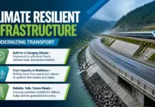
As the climate continues to change, the risks to our transportation infrastructure are evolving in ways that are difficult to predict. Digital risk mapping protection is a vital tool for navigating this uncertainty and for building a network that can adapt to the future. By simulating the impact of rising sea levels, increased storm intensity, and higher temperatures, planners can identify which parts of the network will be most affected in the coming decades. This forward looking perspective is essential for making informed decisions about where to build and how to design the infrastructure of the future.
These long term models also help to build the political and social will for climate adaptation. By providing a clear and visual representation of the risks, risk mapping makes the case for investment in resilience more compelling. It allows for a transparent discussion about the trade offs involved in different development paths and helps to ensure that all stakeholders are engaged in the process. The transition to a more resilient and sustainable transportation network is a collective effort, and digital risk mapping is the common language that brings everyone together.
Technical Challenges and Future Innovation
While the benefits are clear, the development and maintenance of high quality digital risk maps face several challenges. The primary hurdle is the sheer volume and diversity of data that must be managed. Ensuring the accuracy and consistency of this information requires a sophisticated data infrastructure and a high level of technical expertise. There is also a need for greater collaboration between different levels of government and between the public and private sectors to ensure that all relevant data is shared and used effectively.
Looking to the future, Transpor Advancement believes that the next generation of digital risk mapping protection will likely involve even more advanced technologies. We are moving toward a future where digital twins of entire transport networks will be connected to thousands of sensors, providing a high fidelity, real time view of every component. The integration of augmented reality will allow engineers to see hidden risks directly in the field, further improving the speed and accuracy of inspections and repairs. As these innovations continue to mature, the ability to visualize and mitigate risk will become an even more integral part of infrastructure management.
