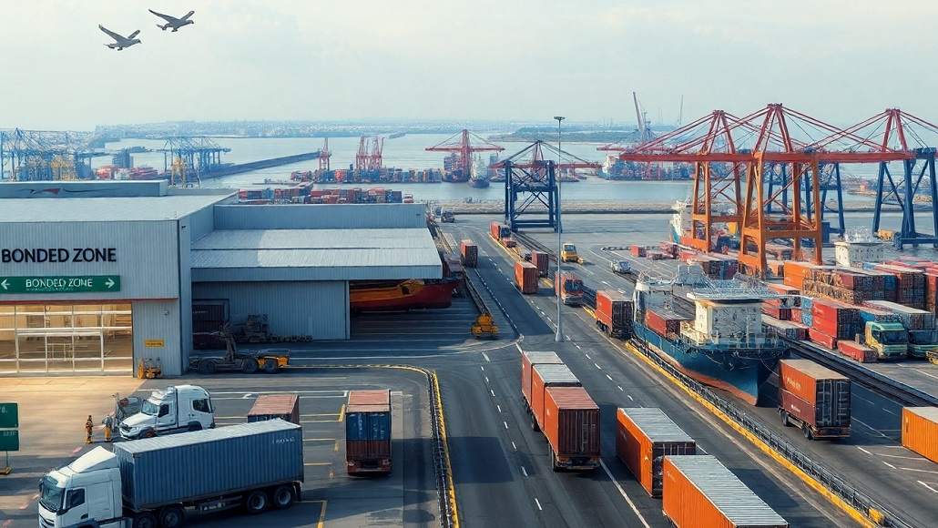
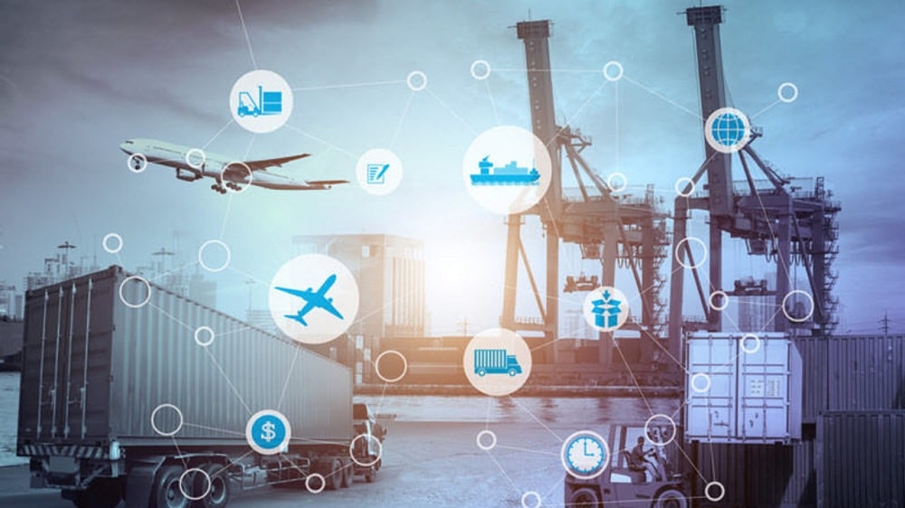
Unprecedented occurrences have the ability to completely upend supply chains, as shown in the last few years by the Suez Canal blockade and more recent wars that have caused transit delays to increase by more than ten days.
It goes without saying that making choices based on data is essential to keeping operations as smooth as possible. For supply chain managers, organizing and overseeing these data pieces may be quite taxing.
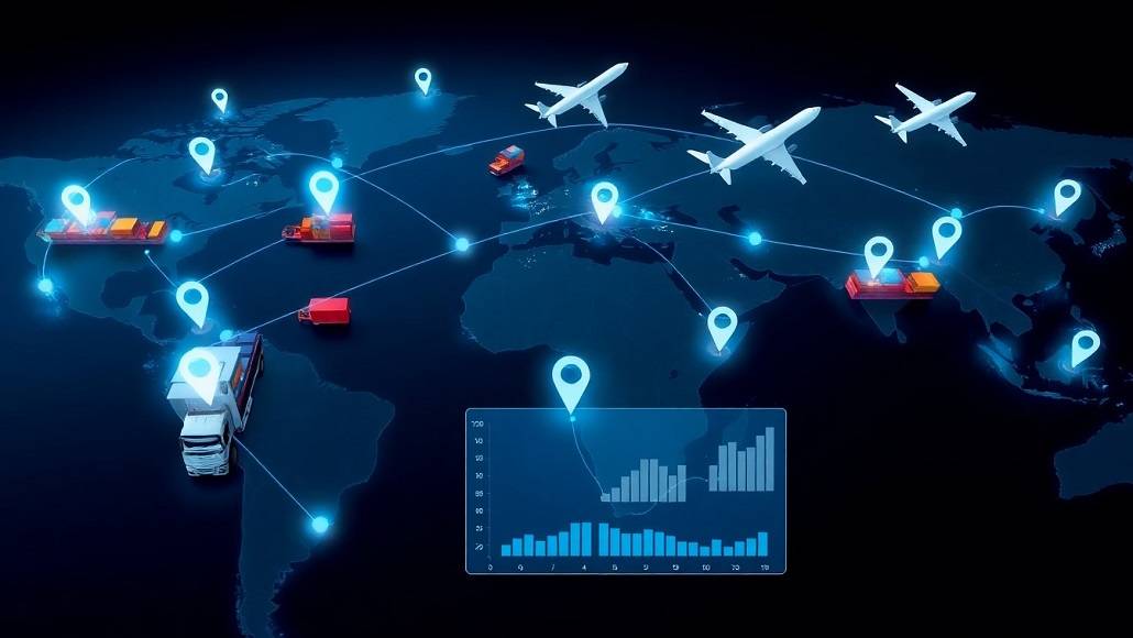
In supply chain data, the “where” is equally as important as the “what,” “how,” and “why.” This is the application of location intelligence and geospatial technologies. Let’s look at how supply chain logistics are being revolutionized by geospatial technology to become more solidly networked, as well as how businesses may use this solution.
Increasing Resilience
Location intelligence is having a significant impact on supply chain resilience in four main areas: smart mobility, sustainability, risk monitoring, load planning, and strategic site selection.
Through route visualization, bottleneck identification, and network configuration optimization, location intelligence improves the effectiveness of network analysis. This may be a game-changer for reducing emissions and expenses when it comes to loading and routing.
For example, a major transportation firm for chilled products travels hundreds of thousands of kilometers each month. Every mile that drivers drive without moving any cargo, such as on their way back after deliveries, has a negative impact on the company’s profits and carbon footprint. On the other hand, supply chain managers may assign drivers based on where they can get the most out of their routes to provide more coverage for customers—all the while keeping time and mileage in mind—by using geospatial technology.
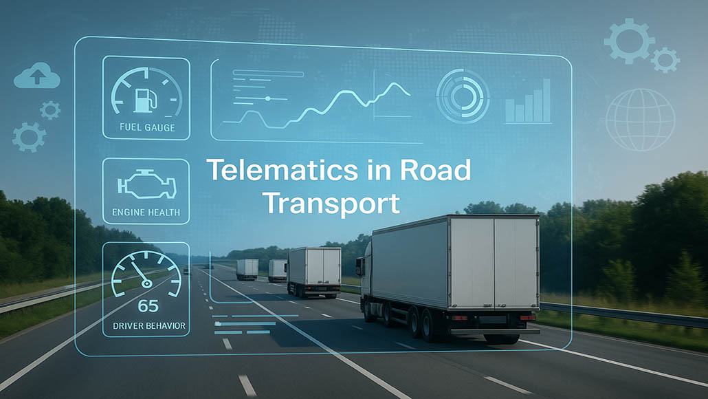
Furthermore, by using GPS and telematic data, geospatial technology may provide real-time insights on fleet, fuel, driver, and vehicle performance. By knowing where cars are at any given time and ensuring that drivers are following speed and safety regulations, this lets end users stay up to date with smart mobility and risk monitoring. By measuring fuel use and identifying areas for improvement, these insights may assist enterprises in making a stronger argument for sustainability with every mile.
Reducing Hazards
Organizations are often exposed to two categories of climate-related risks: transitional and physical. The real-time insights provided by geospatial technology may assist reduce such hazards. This involves alerting people about dangers like inclement weather, international conflicts, or infrastructural difficulties. This is made possible by geospatial data, which is incorporated into location intelligence systems and includes GPS, satellite imaging, and geographic information system (GIS) data.
Furthermore, it is required of sustainability officers to calculate, track, and report their operational and embodied carbon footprints. Companies run the danger of damaging their reputations if they don’t. Sustainability officers can properly record carbon emissions to meet regulatory criteria with the use of geospatial AI.
Companies must disclose supply chain and operational risks related to climate change on a global scale. Because real-time insights enhance suppliers’ capacity to adjust and react skillfully to dangers, this technology may help them be more proactive in their risk management. In fact, by integrating climate and satellite data, geospatial artificial intelligence (AI) can assist mimic the threats associated with climate change. Additionally, it may be incorporated into larger ecosystems, enabling businesses to handle their expanded supply networks in the event of interruptions.
Using this technology also allows suppliers to maintain physical safety oversight. In the first case, teams might be alerted to steer clear of certain routes in order to prevent accidents. Second, when a car breaks down and the driver doesn’t react, central teams may be notified of the problem. The satellite monitoring technology makes it possible to quickly determine the precise positions of drivers, ensuring prompt action.
Using the AWS Sagemaker Geospatial Platform to Boost Analytics
Large volumes of analytics and insights are produced by location intelligence and geographic data for many firms, but these resources are labor-intensive, expensive, and time-consuming. Data processing is being revolutionized by the AWS Sagemaker Geospatial platform. Its AI-powered features greatly simplify the study of massive amounts of geographical data.
Additionally, this tool produces customisable dashboards for analytics and visualization, which is essential for improving decision-making processes since it gives businesses clear insights from complicated data. Additionally, the platform has sophisticated machine learning capabilities. It integrates machine learning models to evaluate geographical data and offers predictive analytics, such as route optimization and demand forecasting.
This technology facilitates real-time data streaming and integration, allowing supply chain managers who are worried about integration procedures to make dynamic modifications to supply chain operations. The platform offers businesses a complete solution for data processing, analytics, and storage by integrating easily with other AWS services.
The Best Ways to Use Geospatial Tools
It takes time to implement geospatial tools; it requires internal strategy development and technological adaptation. Setting specific goals and use cases for the use of location intelligence and geospatial technologies is the ideal place for managers to start. For instance, you may map out the areas where your supply chain’s current procedures are lacking.
Upon determining the unique requirements of your business, make the appropriate technological investment. It’s crucial to choose tools and platforms that can work with big datasets and incorporate them into current systems. Geographical technology is resource-intensive by nature; in order to operate, it requires personnel, exacting procedures, and an adequate amount of data.
It is essential to guarantee the correctness of data whenever it enters the equation. Make sure your staff and equipment are allowing geospatial technologies to collect data on a regular basis, and update and check geospatial data often to ensure accuracy. To ensure that supply chain management procedures continue, this might be planned on a regular basis.
In order to guarantee that staff members can use new tools and understand findings accurately, training programs should also be offered. Teams need to be upskilled on specific geospatial technology, its procedures, and how solutions can be used to address company issues. It’s also essential that kids have plenty of chances to see how these technologies function in actual situations. For example, thorough seminars and simulations are excellent training methods that help staff members develop the skills they need to use these products.
Furthermore, in order to successfully integrate this technology and guarantee that initiatives using it succeed, management buy-in is essential. This implies that in order to build confidence with stakeholders and encourage broad adoption via training initiatives, geospatial technology has to be thoroughly verified.
Lastly, keep an eye on how location and geospatial technologies are affecting supply chain performance and regularly make the required modifications. Assessing performance may be effectively achieved by using information straight from the platform and comparing them to both strategic and operational objectives.
With the global supply chain management industry still dealing with shortages, climate change, and geopolitical unpredictability, geospatial technology is the way of the future. Optimizing the solution requires a comprehensive, networked strategy driven by relevant data. Organizations may evaluate how this technology fits into the larger picture and increase supply chain resilience by identifying opportunities to reduce risks and strengthen supply chain resilience. This helps them future-proof their supply chain plans.


